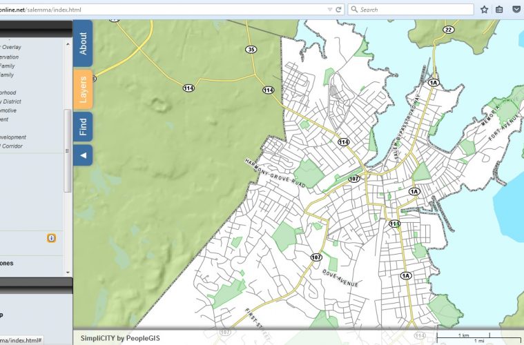
Salem has just launched a new online mapping tool, which offers diverse, multi-layered data to which the city will continue to add.
The new platform, from PeopleGIS, offers a clean and user-friendly interface for viewing landmarks like public and municipal buildings, as well as roads, streetlights, private buildings, parcels, zoning, wards, parks, FEMA flood zones, and brownfields.
Users can choose from base maps that include the ortho imagery acquired by the city in 2014, Google’s satellite/street hybrid map, and OpenStreet’s open-source community-supported map. Also built-in is an easy-to-use search functionality that util
Already a subscriber (including print subscriptions)? LOG IN HERE
Keep Reading — It's Free to Join
You've reached your limit of free articles this month. Create a free account to continue reading Northshore Magazine content and get our weekly email newsletter.
Want full access and a print subscription? Subscribe now.
BONS EVENT 2026The North Shore Event of the Summer · August 13 · DanversportGet Tickets